Northern North Holland is 1 of the 28 concession areas in Dutch public transport, and encompasses about the northern half of the North Holland province. It’s the least densely populated part of the province, with many small villages, mixed in with cities like Alkmaar, Hoorn and Den Helder.
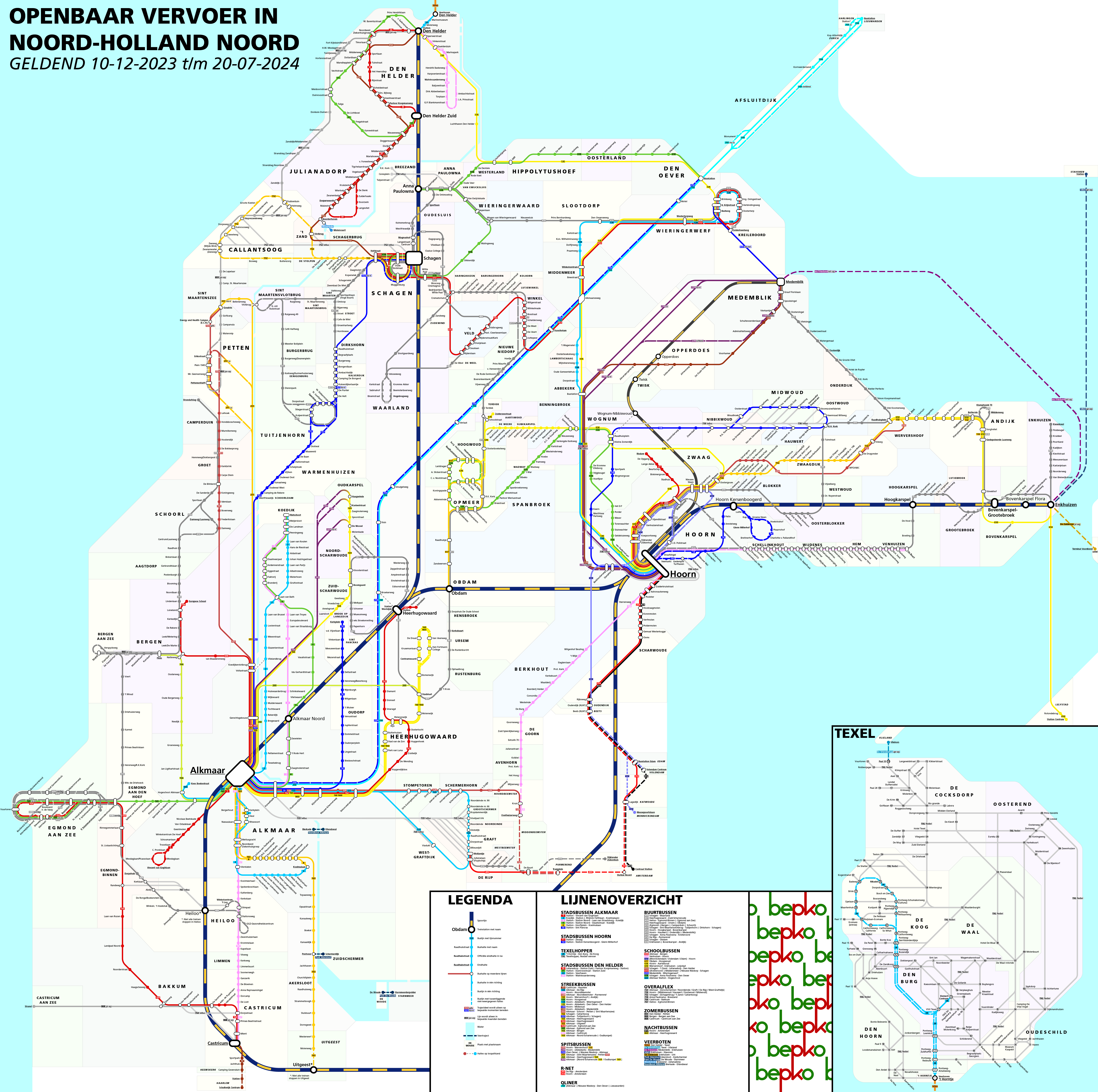
I’ve made this map because I wanted to know how a schematic map of this area would look like, partly as there only exists a geographic map of it.
I’ve begun drawing the map from the station of Alkmaar, which is the largest station of the concession with its 26 bus lines. I’ve drawn the rail lines on the map with angles of no more than 45 degrees, to keep them on the map as the most important lines, like they are in reality. I’ve also straigtened line 250/350 (Alkmaar to Den Oever/Leeuwarden) at one point, as this Qliner forms a faster connection than the regular bus lines.
Along with the train and bus lines, this map also contains the museam steam tram between Hoorn and Medemblik. I’ve also drawn the nine ferry services in the area, of which four go over the Noordhollands Kanaal, a canal that goes from Amsterdam in the south (and to the south of this area) to Den Helder in the north. This is the only canal I’ve needed to draw on the map.
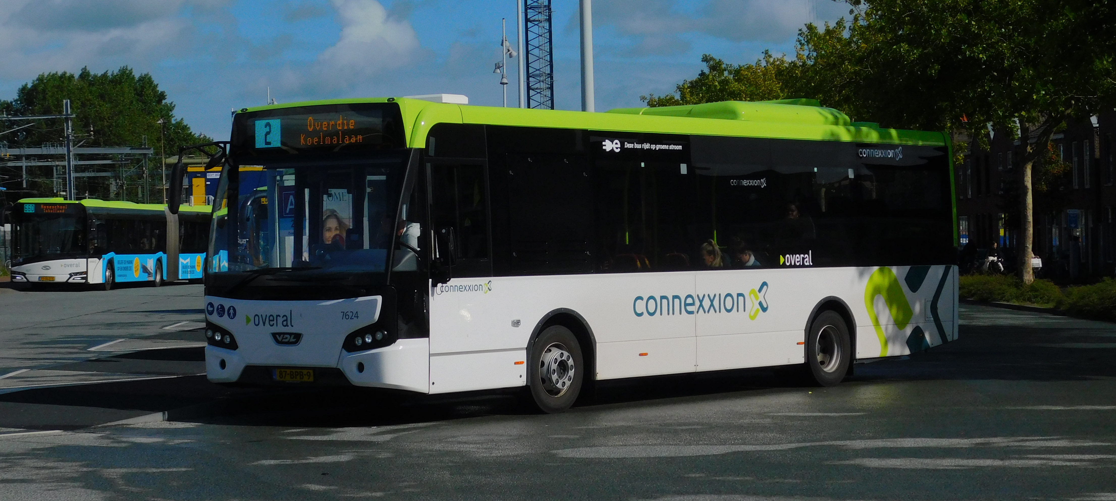
Choosing the line colours was actually easily done, as Connexxion (the company that operates the buses) has colours that it uses quite consistently. These colours can even be found on the displays of the buses themselves: the line number 2 is for instance shown in a light blue rectangle. I’ve coloured the lines without own colours, buurtbussen (buses operated by volunteers), summer buses and flexible transport, grey, each category a bit lighter, to signify their importance. The colours of the other lines on this map, which are buses from other concessions and ferries, mostly come from their own maps and logos.
For the background colouring, signifying the town stops are in, I think I’ve found a pallette that doesn’t distract on a zoomed-out level, but that’s clear enough to tell them from each other on a zoomed-in level.
I do think the flexible buses work less well on a map like this, which can most clearly be seen on the island of Texel. Also the way the others (e.g. line 723) are set up doesn’t help, as you can only travel from and to a station, not between individual stops. I am however quite happy with the rest of the map.
Also this map is only valid until 21 July, as a major time table change is coming, with changes mostly around Alkmaar, Abbekerk and Den Helder.
Sources I’ve used are mainly https://overal.nl/ (Overal is the official brand name Connexxion operates under) and https://9292.nl/, with sometimes https://wiki.ovinnederland.nl/ and https://openstreetmap.org/ to check some things.
©Bepko